Virginia’s 57,867-mile state-maintained roads system is divided into these categories: Interstate – 1,118 miles of four-to-ten lane highways that connect states and major cities. Primary – 8,111 miles of two-to-six-lane roads that connect cities and towns with each other and with interstates. Secondary – 48,305 miles of local connector or county roads. Frontage – 333 miles of frontage roads. (VDOT)
And Google maps (Apple maps) has most of them readily accessible on your car’s navigation system or smart phone.
But there are just times when only an old fashioned printed map will suffice. Or save you from wandering endless backroads thru hills and hollows without internet reception.
A weekend drive to a recommended winery gave us an afternoon of exploring some of the most pastoral landscape I’ve yet seen here in Virginia. Climbing hills, green pastures outlined with white-painted fences, cattle at rest in the shade of oak trees or standing belly deep in a pond, a tiny church across from a well-tended cemetery—the type of scenery you might only come across in a Charles Wysocki 1,000 piece puzzle.
But on the way back, looking for another winery we knew to be located nearby, the road we had previously traveled seemed a little unfamiliar. Had we turned left at that intersection? Have we already gone past the farm with the two llamas out front? Did we go across this narrow bridge, I don’t remember following a stream (ooh that looks great for fly fishing!).
All the while the late afternoon sun is hidden behind a grey overcast sky and the road has continued to narrow. When the pavement turned to hard packed gravel, I knew it was time to turn around. “We’re not lost,” I thought, “just exploring the backroads of Virginia!”

I grew up with a map in my lap, calling out turns, intersections, bridges and land features as my Dad or Mom drove the family car on our family vacations. Long before an interest in aerial photography and the layed-out landscape would lead me to Army cartographic school, I was fascinated with the relationship between the constructed landscape and the natural. The patchwork of farmlands we drove thru as a youngster resolved into magnificent tapestries of colors and shapes bounded by roads or water features when I finally saw them for the first time from an airplane window. Those patterns and colors eventually found their way into my pencil drawings and water colors years later in college art courses.
Learning to drive, or rather, to navigate with the digital map on my iphone has been challenging. In the Boy Scouts and later in the Army, we were taught to orient the map to Magnetic North, then find your location and proceed. I find it confusing then to be following the moving locator on the screen’s map, it heading towards the bottom of the screen, when I am driving forward (up on the screen?). When my wife calls out a turn to the left or right, I’m tempted to ask if the map (digital screen) is oriented properly. My left? Your left? The iPhone’s left? I’m confused!
With a full tank of gas I’m not as concerned as I used to be with directions-eventually we’ll get there. Though in the case of the winery, well, we are saving that for another day. But I am concerned about my friends who drive EVs.
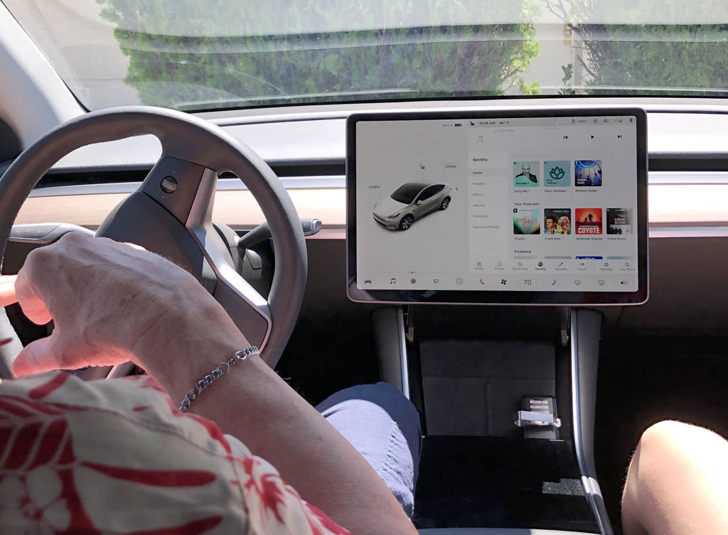
I talked on the phone to my brother the other day about his Tesla. Don’t you get Range Anxiety, I asked him? After a long discussion about batteries, the dual motor capabilities, the growing number of charging stations, and the rundown on their last bi-state road trip, he replied: No. His vehicle gets about 326 miles when charged up (nearly the same mileage as my Nissan Frontier, truthfully). Surely that’s sufficient to glide along any of the backroads of Virginia without worrying about a fill up, I thought. But still, aren’t you concerned about your onboard map/guidance system? What if the satellite coverage drops out? What if line-of-sight is obscured by mountain driving? What if, what if? From their website, I take some reassurance: As updated maps become available, they are automatically sent to Model S over Wi-Fi. To ensure you receive them, periodically connect Model S to a Wi-Fi network. OK.
Thinking about our transitioning to the new, all digital age: does anyone remember getting letters in the mail? Finding a collection of old letters carefully ribboned together and saved in shoeboxes, perhaps for generations? They were our maps and guide to the past, connecting us to people and places a text or an email never can. I’m looking at you, Major Sullivan Ballou (https://www.nps.gov/articles/-my-very-dear-wife-the-last-letter-of-major-sullivan-ballou.htm)
I wonder what we will leave behind in the way of ephemera, love letters, birthday cards, train stubs and such. Or will our future be one of the now, driving along our digital highways and not looking back. Never lost, always here.
If you are a map or data junky, Virginia Roads website has an amazing set of tools designed to create apps, or maps which incorporate their data. Again from their website: Build exciting new apps with no code. Story Maps are a great way to share your message interactively. Quickly combine your maps, analysis and data int a purposeful app – with no code!
That’s pretty exciting for me to see, the cartographic world was just beginning the transition to digital environment when I left the Army in 1986.
